


Networked radar for airspace monitoring
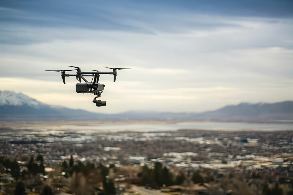
(Image courtesy of Brigham Young University)
Researchers in the US have developed a dynamic calibration technique that allows a network of small radar systems to detect UAVs, writes Nick Flaherty.
Traditional large radar systems cannot effectively detect low-flying aircraft below 400 feet. However, the air traffic control system developed by Prof Cammy Peterson and her team at Brigham Young University (BYU) in Utah (USA) can accurately track anything in an identified low-altitude airspace.
“Radar has been around for a long time,” said Karl Warnick, professor of electrical and computer engineering at BYU. “Instead of having a 10 million dollar spinning dish that you would see at an airport, we have a simple thing that could be built for a few hundred dollars. The small radars don’t have all the capabilities of a higher-end radar, but a network of small radars can work together effectively.”
In the system, multiple ground station computers are connected to radar units, which are distributed around an area. These radar units are pointed toward the sky to detect any moving objects within their field of view.
When a radar unit identifies an object, it records the position of that object relative to the radar unit itself. This information is then converted to a global coordinate frame to be shared with other ground stations to create a comprehensive, time-varying picture of air traffic in the area.
This conversion allows all ground stations to accurately interpret the object’s position in real space. To achieve a dynamic air traffic picture, each radar unit must be calibrated or provided with the necessary data to convert from the local frame to the global frame.
“Each radar has a field of view as it’s pointed up at the sky,” said Tim McLain, a BYU professor of mechanical engineering. “You want the radars to be calibrated so they all see an individual aircraft at the same place in the sky.”
Researchers said the small radars could potentially be installed on structures such as light posts or cell towers.
The BYU researchers focused on three radars, each able to track a circular airspace about 500 ft (150 m) in diameter, but the technology could be scaled to a broader network with many more radars.
“To be cost effective you need to allow multiple vehicles from different companies to travel through the same area during the same time window. If you want to be safe, you’ll want to know where the other drones are,” said Prof Petersen.
“The effectiveness of the system could be compromised due to weather or an object that bumps into a physical radar unit, causing it to move and point in an unintended direction. But an online calibration allows a radar unit to adjust for an inadvertent change in its position as it is collecting data, and to correct for any problems.”
This can be achieved in under 10 seconds using a dynamic calibration technique. This allows radar units to be swapped out or more could be added, allowing for different capabilities depending on need.
UPCOMING EVENTS


